Leech Lake Maps – Depth, Vegetation & Topography
February 10, 2017
Looking for the perfect Leech Lake map to choose the best spot for the Eelpout Festival or your next summer fishing excursion on Leech Lake? Look no further! Below you will find a complete list of all the different Leech Lake maps on the web, all easy to print. Whether you need detailed Leech Lake depth maps or a simple overview we have you covered. Each map image links to the original source when clicked, for full functionality. Plan your next fishing trip today, Find Leech Lake Lodging now.
Leech Lake Depth Maps
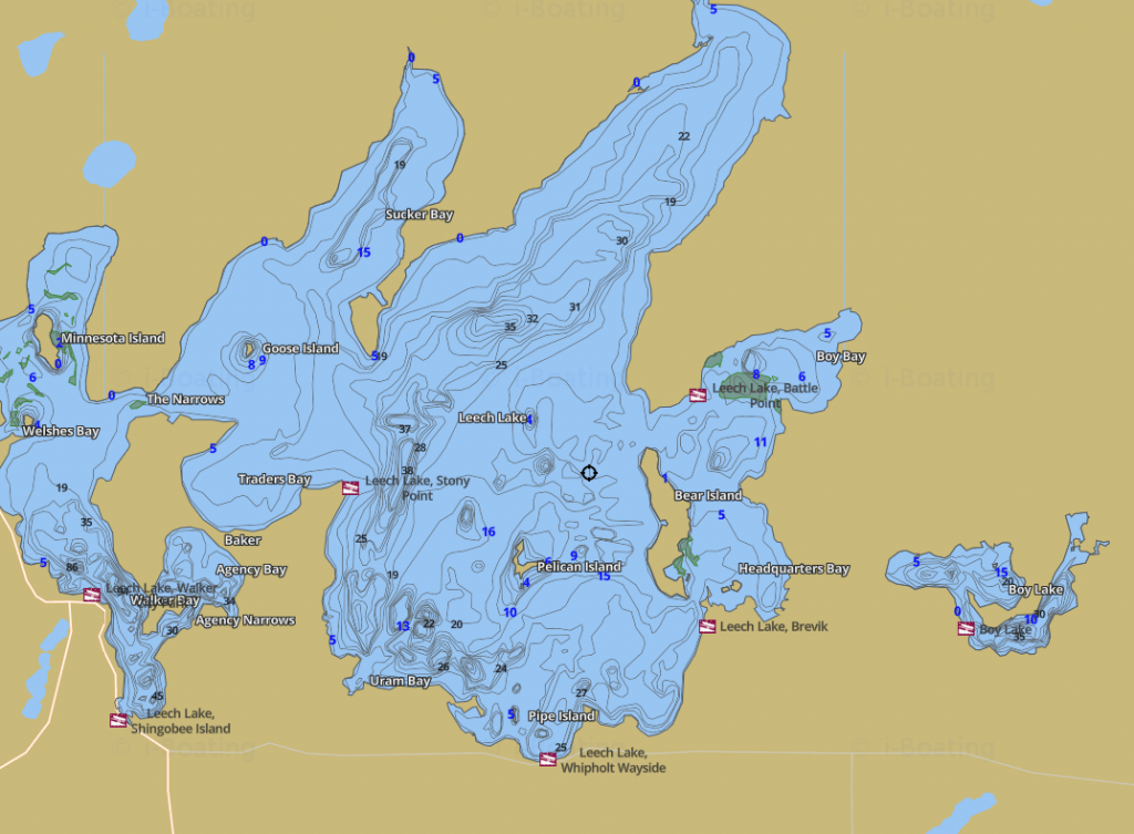
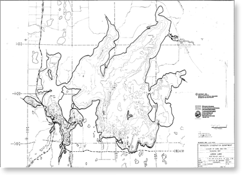
Depth maps also include contours, these contours in combination with depth estimates ensure anglers and resource managers get an accurate view of the lakes layout underneath the surface. Anglers can utilize these maps to identify prime locations for particular species of fish. Like the deep humps in Walker Bay which are generally a great location for Walleye, or the shallow areas around Goose Island which are often great for perch, among many other insights anglers can gain from depth maps. This is especially true on a lake as large and varied as Leech Lake. Click on Each Map image to go to their original source.
Leech Lake Vegetation Maps
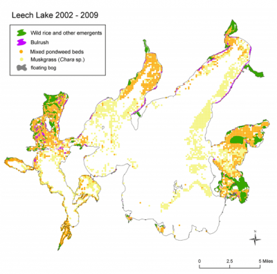
Depth maps can tell anglers a great deal about a lake and it’s ideal fishing locations, but combining what you have gleaned from a depth map and combining that with a Leech Lake vegetation map will bring your fishing game to the next level the Minnesota Department of Natural Resources has put together a detailed report on the vegetation makeup of Leech Lake that includes a dozen or more vegetation maps anglers can use to find the optimal locations. Since Bass and Muskie among other species often like to stay along the edges of weed beds for much of the year, a vegetation map can help you to pinpoint those locations where you are most likely to hook that trophy fish.
Leech Lake Map – Names & Places
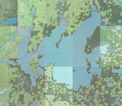
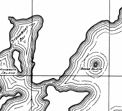
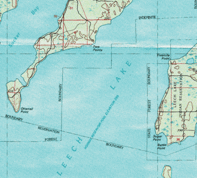
Leech Lake has innumerable points, islands, inlets, and bays some mentioned more often than others in our fishing reports. Often however if you are not a local or unfamiliar with the lake these locations can be hard to find as most maps do not list them all. The topographic map below solves that problem, with every single location labeled and identified even the rarely mentioned ones like Hardwood or Five Mile point among many others. No longer will you here about a great fishing spot on Leech Lake near such and such point, unable to find the named place on any readily available maps.
With these Leech lake Depth and Vegetation maps you should be ready to plan the ultimate fishing excursion with success. Combine these maps with our fishing reports for up to date fish locations and tactics, and begin planning your next fishing trip today. If you have found the perfect fishing spot, it’s time to find the perfect lodging as well, use our lodging search tool to identify the perfect place to stay. See you on the water (or ice)!


